
Table of Contents
Aerial Inspection in Ap – Infrastructure across Andhra Pradesh is expanding rapidly, with new developments in renewable energy, power transmission, industrial facilities, roads, construction and urban infrastructure. As these assets become larger and more complex, regular inspection is becoming increasingly important. At the same time, traditional inspection methods can be time-consuming, labour-intensive and difficult when assets are located at height, across large areas or in challenging terrain.
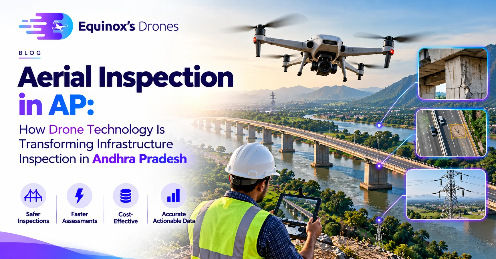
This is where Aerial Inspection in Andhra Pradesh is becoming an increasingly valuable application of drone technology. Equipped with high-resolution cameras, thermal sensors and LiDAR systems, drones can capture detailed information from the air and provide inspection teams with a clearer view of infrastructure and assets.
Aerial inspection is not simply about taking photographs from above. The real value comes from collecting structured visual and sensor data that can help asset owners, engineers and maintenance teams identify visible conditions, document assets and determine where further investigation may be required.
What Is Aerial Inspection in AP?
Aerial inspection is the use of drones to capture visual, thermal or three-dimensional information about an asset from the air. Depending on the inspection requirement, drones can be equipped with high-resolution RGB cameras, thermal cameras, zoom cameras or LiDAR sensors.
The technology can be used for inspecting power transmission infrastructure, solar plants, wind turbines, industrial facilities, buildings, bridges, roads, pipelines, communication towers and construction sites.
Instead of requiring inspection personnel to physically reach every section of an asset during the initial assessment, drones can capture detailed imagery remotely. This information can then be processed and reviewed to identify visible defects, thermal anomalies or other conditions that may require closer examination.
Why Is Aerial Inspection Important in Andhra Pradesh?
Andhra Pradesh has a diverse infrastructure landscape. The state has extensive renewable-energy installations, power transmission networks, industrial facilities, ports, highways, construction projects and large-scale developments.
These assets often cover significant areas and may include components that are difficult to access manually. Aerial inspection can provide a practical way to obtain detailed visual information while creating a digital record of the asset.
The Andhra Pradesh drone ecosystem is also expanding beyond basic aerial photography. State-level geospatial initiatives have identified applications for drones in areas such as powerline mapping and monitoring, dam surveys, industrial-area mapping and three-dimensional modelling. This reflects the growing role of drone technology in infrastructure and geospatial applications across the state.
Aerial Inspection Services in Andhra Pradesh
One of the most important applications of drone inspection is powerline and transmission infrastructure inspection. Transmission lines can extend across long distances and pass through agricultural areas, forests, hills and remote locations. Inspecting every tower and component manually can require significant time and resources.
Drones equipped with high-resolution cameras can capture detailed imagery of transmission towers, conductors, insulators, cross arms and other components. Thermal cameras can provide additional information by detecting temperature variations that may require technical investigation. Repeated inspections can also create a visual history of infrastructure conditions over time.
Solar inspection is another important application in Andhra Pradesh. Large solar plants can contain thousands of panels distributed across extensive areas. Drone-based thermal inspection can scan these installations and identify temperature anomalies that may indicate potential issues requiring further investigation.
Combining thermal imagery with high-resolution RGB photography provides inspection teams with both temperature information and visual context. This can make it easier to locate and document areas that require attention.
Wind-energy infrastructure can also benefit from aerial inspection. Wind turbine blades, towers and other external components are positioned at considerable heights, making traditional inspection methods more challenging. Drones can capture detailed imagery of blade surfaces and external components, helping inspection teams document visible conditions such as surface damage, erosion and other anomalies.
Industrial infrastructure is another area where aerial inspection can provide significant value. Andhra Pradesh has major industrial and logistics centres, including Visakhapatnam, Kakinada and other developing industrial regions. Large industrial facilities may contain tanks, pipelines, rooftops, chimneys, structural components and other assets that require periodic inspection.
Drone imagery can provide an aerial overview of these facilities while capturing detailed images of individual structures. This information can support maintenance teams and engineers during inspection and documentation activities.
Thermal Drone Inspection in AP
Thermal imaging adds another layer of information to aerial inspection. Unlike a standard camera, which captures visible light, a thermal camera detects infrared radiation and represents differences in temperature across a scene.
This makes thermal drones particularly useful for certain applications involving solar panels, electrical infrastructure, industrial equipment and building systems.
For solar installations, thermal imaging can help identify unusual temperature patterns across panels. For electrical infrastructure, thermal information can help identify areas showing abnormal heating that may require further investigation.
However, thermal anomalies should be treated as indicators for investigation rather than automatically being considered proof of a specific fault. Environmental conditions, equipment characteristics and inspection methodology can all influence thermal readings.
LiDAR-Based Aerial Inspection
LiDAR technology provides another capability for advanced aerial inspection. Instead of relying only on photographs, LiDAR uses laser measurements to create detailed three-dimensional point-cloud data.
This can be particularly useful for infrastructure corridors, powerline clearance assessment, terrain analysis, three-dimensional asset documentation and complex environments.
For projects requiring a detailed understanding of both the visual condition and physical geometry of an asset, LiDAR can be combined with RGB imagery and other sensor data to create a more comprehensive inspection dataset.
How Drone Aerial Inspection Works
A professional Aerial Inspection in AP begins with understanding the asset and defining the purpose of the inspection. The inspection team evaluates the location, asset type, surrounding environment, required image resolution, sensor requirements and expected deliverables before planning the flight.
The drone flight is then planned around the geometry of the asset and the required inspection coverage. During the flight, the drone captures high-resolution photographs, thermal imagery or LiDAR data depending on the project requirements.
After the flight, the collected information is processed and organized for inspection. Images can be reviewed, locations can be documented and potential anomalies can be identified. Where required, inspection data can be combined with maps, GPS information, thermal imagery or three-dimensional models.
The final output can be presented as an inspection report containing imagery, observations, locations and supporting information. Where structural, electrical or other engineering conclusions are required, the drone data should be reviewed by appropriately qualified professionals.
Benefits of Aerial Inspection Services in AP
One of the major advantages of drone inspection is the ability to collect detailed information across large or difficult-to-access areas. Instead of depending entirely on physical access, inspection teams can use aerial data to understand the overall condition of an asset and identify areas that may require closer examination.
High-resolution drone imagery also creates a useful visual record. The same asset can be inspected again at a later date, allowing teams to compare imagery and observe changes over time.
For certain applications, drone inspection can also reduce the need for personnel to initially work at height or enter difficult locations simply to obtain visual information. This does not eliminate the need for qualified inspectors or engineers, but it can change how the initial inspection process is carried out.
The combination of drone imagery, thermal data and LiDAR can further improve the amount of information available to maintenance and engineering teams.
Aerial Inspection Across Andhra Pradesh
Aerial Inspection in AP services can be deployed across Andhra Pradesh depending on the project requirements. Major locations such as Visakhapatnam, Vijayawada, Guntur, Kurnool, Anantapur, Kadapa, Nandyal, Tirupati, Nellore, Kakinada, Rajahmundry, Ongole, Srikakulam and Vizianagaram have diverse infrastructure and industrial applications where drone inspection can be relevant.
Renewable-energy projects, transmission corridors, industrial facilities, construction projects and large commercial assets can all benefit from appropriately planned aerial inspection.
The inspection methodology, sensor selection and final deliverables should always be determined according to the specific asset and project objective.
Choosing a Drone Inspection Company in Andhra Pradesh
Selecting an aerial inspection company should involve more than comparing the cost of a drone flight. The quality of the final inspection depends on the complete workflow, including flight planning, sensor selection, data capture, processing and reporting.
A professional drone inspection provider should understand the difference between visual inspection, thermal inspection, LiDAR inspection and mapping requirements. The company should also have the technical capability to process the captured information into useful inspection deliverables.
Experience with the specific type of asset is equally important. A powerline inspection requires a different approach from a solar-panel inspection, building inspection or industrial facility inspection.
Regulatory requirements should also be considered when planning drone operations in India. The flight location, airspace, operating conditions and applicable permissions should be evaluated before conducting the inspection.
The Future of Aerial Inspection in AP
The future of aerial inspection is moving beyond simple photographs. The combination of drones, thermal imaging, LiDAR, artificial intelligence, GIS and digital asset management is creating new possibilities for infrastructure monitoring.
As inspection datasets become larger, AI-based analysis can help inspection teams process imagery and identify potential anomalies for human review. GIS can connect inspection findings with asset locations, while historical datasets can help organizations understand how asset conditions change over time.
This creates a shift from traditional periodic inspection toward a more data-driven approach to asset management.
The long-term workflow can evolve from simply conducting an inspection to continuously collecting, comparing and analysing asset information.
Conclusion
Aerial Inspection in AP is becoming an important application of drone technology across infrastructure, renewable energy, utilities, construction and industrial operations in Andhra Pradesh.
From solar farms and power transmission networks to industrial facilities, buildings, bridges and construction projects, drones can provide detailed aerial information that may be difficult or time-consuming to collect using traditional methods alone.
The real value of aerial inspection comes from the complete process of planning, capturing, processing, analysing and reporting the data.
With the right combination of high-resolution cameras, thermal sensors, LiDAR and professional data processing, organizations can gain better visibility into their assets and identify areas that may require further inspection or maintenance.
For businesses looking for Aerial Inspection Services in AP, choosing an experienced drone inspection partner with the right technology, surveying expertise and data-processing capabilities can help transform aerial data into practical inspection intelligence.
FILL THE FORM TO GET QUOTATION –