Agriculture
Revolutionizing Agriculture with Drone Powered Solutions
Revolutionizing Agriculture with Drone Powered Solutions
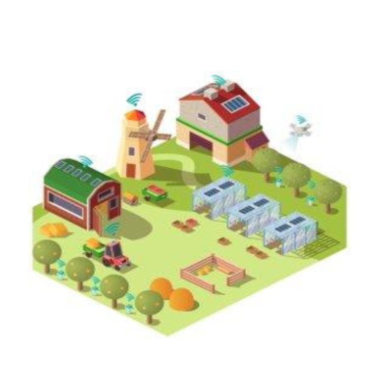
Drone technology has revolutionized the agriculture industry in India, enhancing efficiency across various operations. Equinox’s Drones offers drone-powered solutions to farmers, facilitating increased productivity from crop monitoring and Livestock Management to Pesticide Spraying, Crop Stress identification, Treatment Planning, Plant Growth Monitoring, Precision Farming, Scouting, and more.
We deploy high-tech Aerial Surveying agriculture drones equipped with advanced sensors, including RGB and Multispectral Sensors, to gather precise data. Drones like DJI Inspire 2 capture high-resolution crop data, identifying issues early to enable prompt action and prevent damage. Geo-tagging Aerial Images provide valuable insights that reduce costs and significantly boost yields.
Our integration of advanced drone technology and Machine Learning in Precision Agriculture leads to improved crop yields and profitability, reducing standard input requirements for farmers in terms of land, water, fertilizer, herbicides, and insecticides.
Combining UAV Aerial Imagery with Machine Learning systems enables accurate Crop yield forecasts, crop count, crop emergence analysis, irrigation monitoring, crop health assessment, crop damage assessment, and field soil analysis. High-quality drone data and Photogrammetry ensure crop protection and maximize productivity, offering farmers comprehensive benefits.
Recognized by



Need For Agriculture Drones In India
Agriculture is the primary source of livelihood for about 58 per cent of India’s
population. Gross Value Added (GVA) by agriculture, forestry and fishing was estimated at 19.48 lakh crore (US$ 276.37 billion) in FY20(PE). Growth in GVA in agriculture and allied sectors stood at 4% in FY20 UAVs fill the gap of human error and inefficiency by traditional farming methods. External factors like weather, soil conditions, and temperature play a critical role in farming. The agriculture industry, if brought to its peak efficiency, will improve the GDP to higher levels. The healthy yield of crops will also mean that the inflation in the food
industry will stabilize. Farmers that use real-time, reliable information on crop health have a competitive advantage.
How we can help you
- Crop Health & Stress Analysis
- Irrigation Monitoring And Planning
- Crop Damage Assessment
- Crop Count & Plant Emergence Analysis
- Field Soil Analysis
- Pesticide Spraying
- Live stock Monitoring
- Mapping / Surveying
Our Features
CROP HEALTH & STRESS ANALYSIS
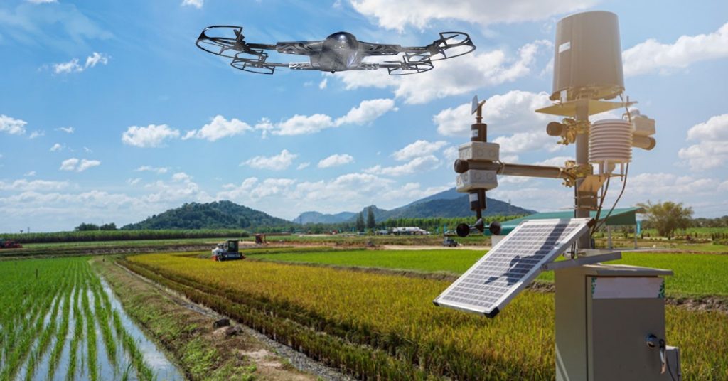
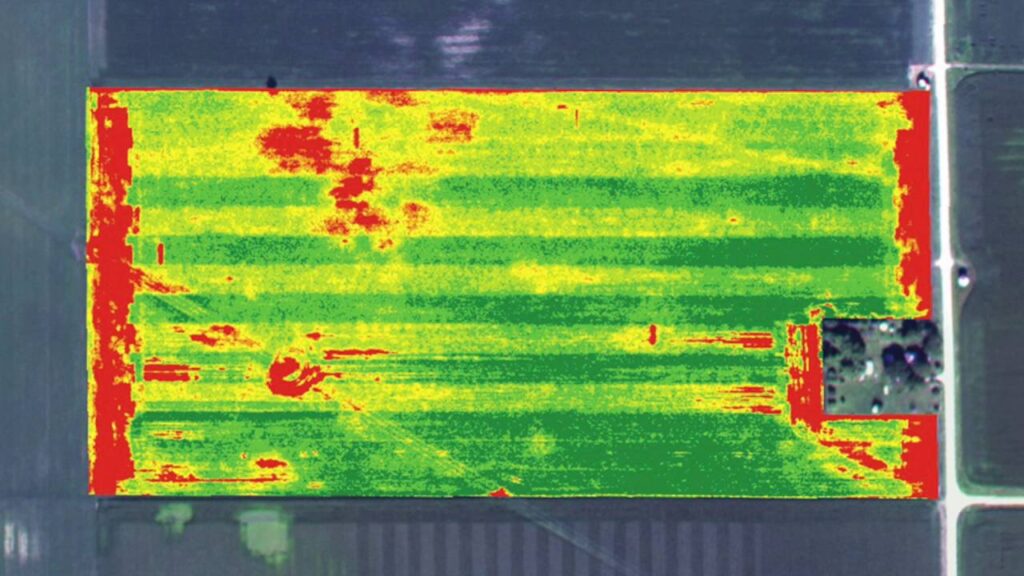
Our top-notch drones furnished with Multispectral camera sensors can identify disease and stress in the initial stages, sometimes before it is even evident from the ground or with standard color cameras. Our drone surveys also provide real-time imagery of the fields for precision agriculture. The data obtained is processed and analyzed during Irrigation Monitoring, Corp Health Monitoring, and other fundamental elements to encourage farmers to focus on treatment plans.

IRRIGATION MONITORING AND PLANNING
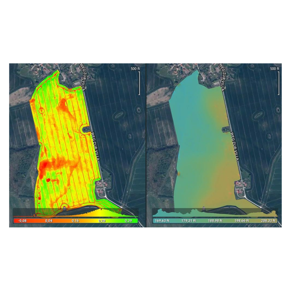
Our drones equipped with Thermal Cameras and Remote Sensing capabilities can help defeat irrigation issues, or areas receiving little or too much moisture. The topography of fields from RGB Imagery assists farmers to position and segregate the crops to maximize drainage, follow natural land runoff, and to avoid water-logging. With our services, farmers will be able to adapt to different environments comfortably.
CROP DAMAGE ASSESSMENT
Our experienced drone pilots can obtain high-resolution data that can provide vital information for measuring and documenting damage to crops from unforeseen factors such as floods, fires, pests, weather events, etc. Data from drones with remote sensing capabilities and Photogrammetry acts as evidence for farmers or government authorities to claim crop insurance or to obtain an estimate accordingly. Data retrieved from advanced sensors represented as 2D or 3D Orthomosaics help farmers understand and find novel alternatives to increase crop yields and reduce crop damage simultaneously.
CROP COUNT & PLANT EMERGENCE ANALYSIS
With our drones’ high-resolution data coupled with Machine Learning algorithms, we can efficiently present production information to track crop emergence, drive replanting decisions, and help predict yield. Data obtained with premium UAVs and Photogrammetry , our system yields 97% accuracy in its output. We represent these as 2D Orthomosaics for an in-depth understanding.
FIELD SOIL ANALYSIS
The soil quality of crops can either make or break a farmer’s productivity. Soil Analysis is a crucial step to be taken by farmers during the crop-cycle. Our drones, such as the DJI Phantom 4 Pro, provide real-time and precise analysis of soil’s overall health. Through Precision Agriculture, one can discern issues surrounding soil quality, nutrient management, or dead soil zones. This data supports farmers in determining the most effective farming patterns of planting, managing crops, and soil. Not to mention, field soil analysis also increases the safety and health of workers.
PESTICIDE SPRAYING
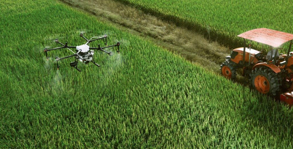
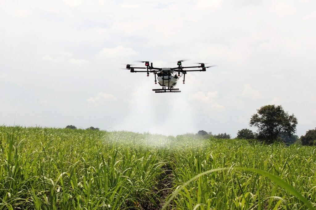
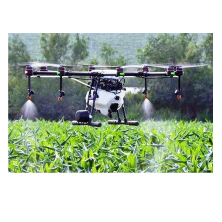
Chemicals to kill pests and unwanted plants such as weeds and spraying pesticides is crucial for maintaining crop health. Drones fitted with pesticide spraying equipment function more efficiently and for a fraction of the cost compared to manual spraying. Not only are we achieving Precision Agriculture by saving time and labor costs significantly, but we are also protecting farmers from coming into contact with various toxic chemicals.
Our features/ key offerings in Agriculture Industry



Benefits of Drone in Agriculture with Equinox's Drones
- Higher-resolution visual inspections with drones compared to ground-based inspections
- Increase efficiency with high-resolution data in a very timely manner with thermal/4k capabilities
- Farmers make better decisions and avoid costly mistakes with aerial mapping of crop fields.
- Save cost, time and resources with Drone Mapping for your Crop fields compared to ground-based approach
- Highly accurate Predictions for - inventory information, crop emergence, drive replanting decisions, total yield prediction, etc
Our Approach
Phase 1
Site Reconnaissance – A preliminary survey (Reconnaissance) will
be conducted to understand the site conditions and gauge the site terrain as well as atmospheric conditions such as wind speed, temperature and humidity. This is done to ensure that all obstacles are dealt with before the actual flight.
Mission Planning – Flight Planning will be done base on the observation made in the above reconnaissance survey. Additionally, markers will be fixed at the periphery of the area of interest to ensure full coverage of the concerned plots.
Data Acquisition – Flight mission will be planned and Flying and Photography will be carried out using an Aerial Vehicle. The sensor proposed for the purpose will be a visual RGB and multispectral sensor
Phase 2
Pre – Processing – In this stage, stacking of the images acquired by the sensor will be carried out. Therefore, the first level outputs will include raw images of the concernedplots and stacked Multispectral images if required.
Post Processing – Once the first level of outputs are ready,
final deliverables are produced. Raw images of the concerned plots
are georeferenced to produce geo prefred base maps of the same.
Project Specific Data Analysis – Equinox’s Drones planning team will generate “Action Ready” outputs in the form of maps, figures, fly
through and reports in industry standard formats (AutoCAD and GIS
Files). These action ready outputs will help in effective and efficient planning and monitoring of suggested areas of interest at the university.
Our Deliverables
| Sr. No. | Deliverables | Data Format |
|---|---|---|
| 1 | Raw Images | .jpeg |
| 2 | Orthomosaic | .tiff |
| 3 | Digital Surface Model (DSM) | .tiff |
| 4 | CCCI | |
| 5 | NDVI | |
| 6 | Project Report |
Our Illustrations
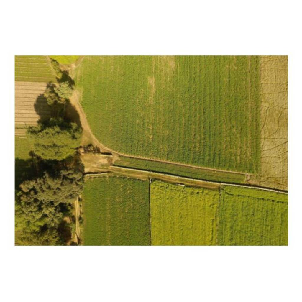
Imagery taken from Enhanced RGB Sensor

Channel MultispectralSensor

Pesticide Spraying
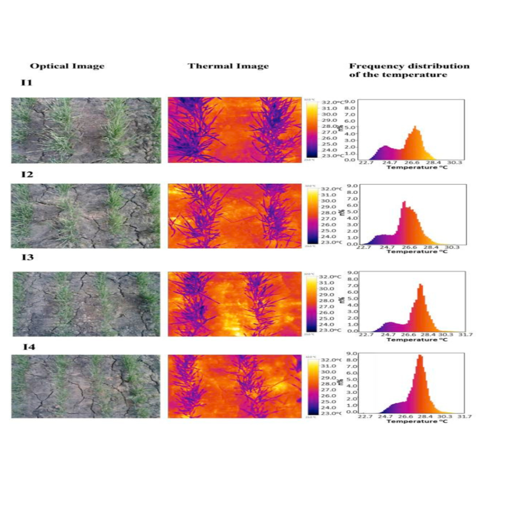
Water Mapping for Precision Agriculture
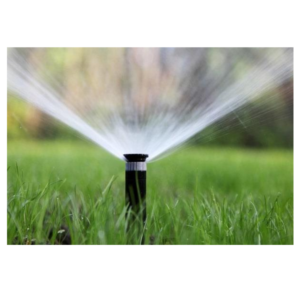
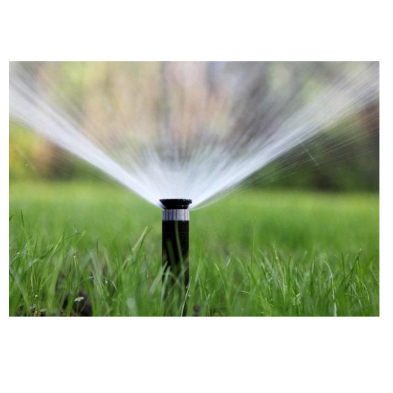
Sprinkler Irrigation
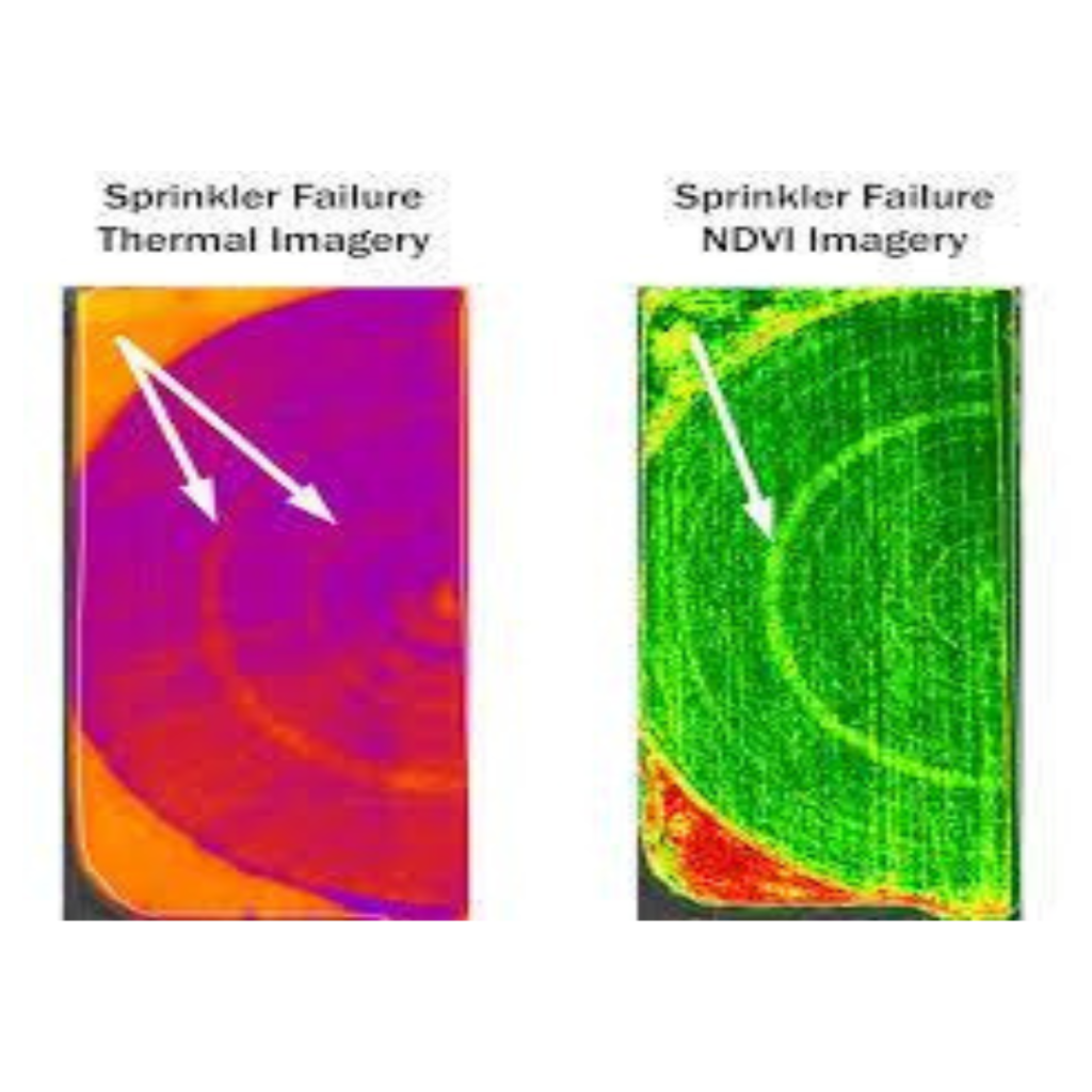
Drone Imagery
Why Equinox’s Drones?
Precision Agriculture
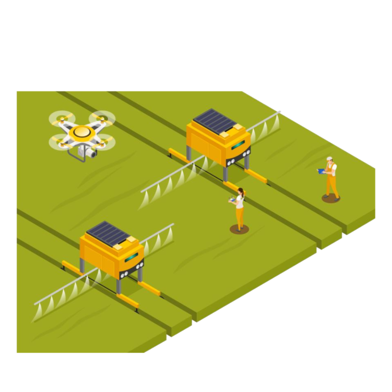
- Reduction of resources (seed, fertilizer, pesticides, fuel…)
- Reduction of machine and work hours
- Improvement of crop yield and crop quality
- Minimization of environmental impact
- Complete documentation of the production process
Sensors used in Agriculture
1) VISUAL SENSOR
- Aerial mapping and imaging
- Photogrammetry and 3D reconstruction
- Plant counting
- Surveillance
- Emergency response
- Surveying and Land use application
AERIAL DATA ACQUISITION – VISUAL (RGB) CAMERA
The entire area of interest will be surveyed using an Unmanned Aerial Vehicle (UAV). Several Flight Plans will be created to cover the entire area and later mosaiced into a single orthophoto. Aerial images are captured maintaining a GSD (Ground Sample Distance) GSD of ~3cm to ~5cm per pixel resolution or better.
The data have been acquired with 60% frontal and 30%
Lateral overlap. The data acquisition Team verifies the d
ata captured on-field itself to prevent gaps and recapturing of the data.
2) MULTISPECTRAL SENSOR
- Plant health measurement
- Water quality assessment
- Vegetation index
- Plant counting
3) THERMAL SENSOR
- Heat signature detection
- Livestock detection
- Surveillance and security
- Water temperature detection
- Water source detection
- Emergency response
Thermal Camera-
The multispectral images can be coupled with information such as air temperature and soil temperature can be used to monitor irrigation scheduling, soil water stress detection, plants disease detection, yield estimation etc.
4) LIDAR SENSOR
- 3D digital surface modelling stockpile calculation
- Surface variation detection and flood mapping
- Plant height measurement
5) HYPERSPECTRAL SENSOR
- Plant health measurement
- Water quality assessment
- Vegetation index calculation
- Full spectral sensing
- Mineral and surface composition surveys
IMAGE PROCESSING AND ORTHO-RECTIFICATION
In the initial level of processing, the first level of deliverables is produced. The raw images or source files are stitched together with their geolocation information (captured by the GPS) and their interior and exterior information to generate the Orthomosaic. Also, based on the altitude information captured by an Inertial Measurement Unit (IMU) and Geographical Positioning System (GPS), the Point Cloud and the Digital Surface Model (DSM) is generated.
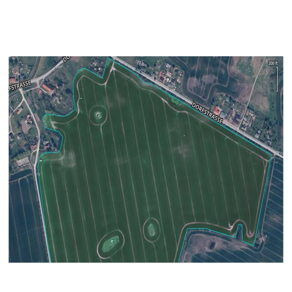
Therefore, the stages of Processing involves:
- Alignment and Sparse Point CloudGeneration
- Point Cloud Densification
- Digital Surface Model Generation
- Orthomosaic
