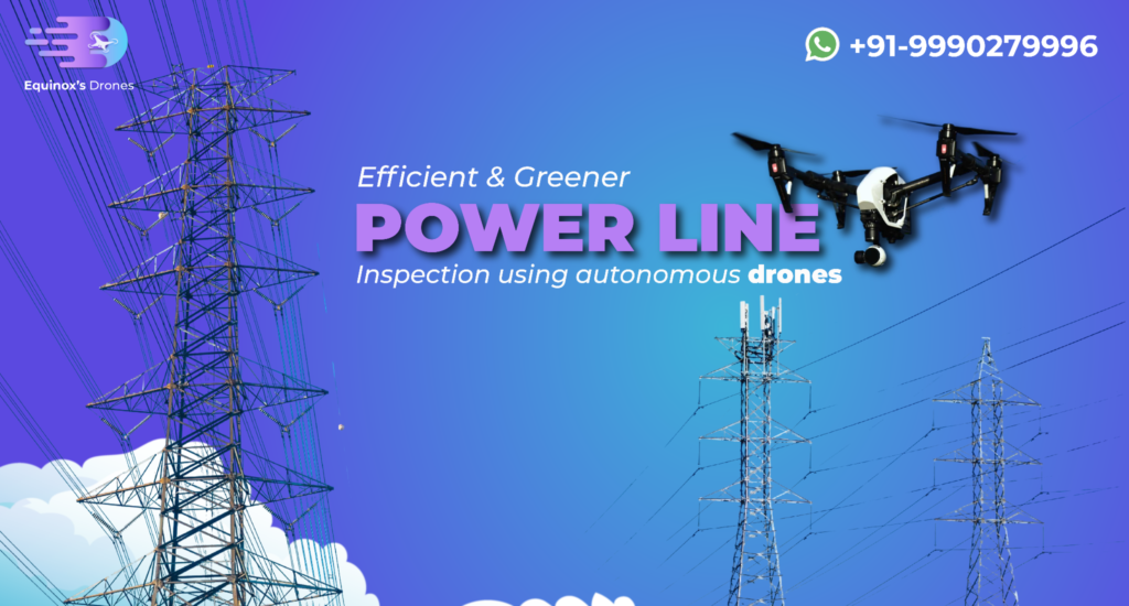
Power Line Inspection: Guide, Benefits & Tech by Equinox’s Drones
Power line inspection is the silent hero of our modern lives—without it, the lights would quite literally go out. Yet, the task of inspecting miles upon miles of high-voltage lines has always been a dangerous, time-consuming, and costly affair. That’s where Equinox’s Drones steps in, revolutionizing power line inspections across India with cutting-edge drone technology. […]
Power Line Inspection: Guide, Benefits & Tech by Equinox’s Drones Read More »


