
With propelling Drone Technology, industries and their traditional methodologies are being redefined. UAVs have unlocked their potential in the Waste Management industry yet again and have proved to be the most economical, practical, efficient, and accurate equipment. With just some time invested in perfecting drone flying, you can propel a drone program on your landfill to furnish accurate and real-time data of your landfill’s advancement and productivity. With the support of drones, you are promised quality work, coupled with diminished operational hazards and expenses for waste management practices. Translate your data into 3D models for in-depth examinations of your landfills for informed decision-making. Drones are not just promising for your waste management corporation, but also the safety of the environment.
KEY COMPONENTS FOR A SUCCESSFUL PROGRAM
- Check your local aviation regulations – Drone regulations differ from region to region. For Unmanned Aerial Vehicle (UAVs), your country’s aviation authority forms comprehensive rules and regulations for their operations. Information for drone regulations are available on aviation authority’s websites and are essential for drone pilots to understand and follow. Drone operators must be up-to-date with drone regulation ‘X’ such as What kind of license you need? Are you flying in a ‘No Fly Zone’? Do you have the necessary permissions to operate in the area? For example, numerous authorities have determined the drone’s weight to be flown, the maximum height it could be operated to, the need to maintain a visible line of sight, etc.
- Choose the optimal hardware

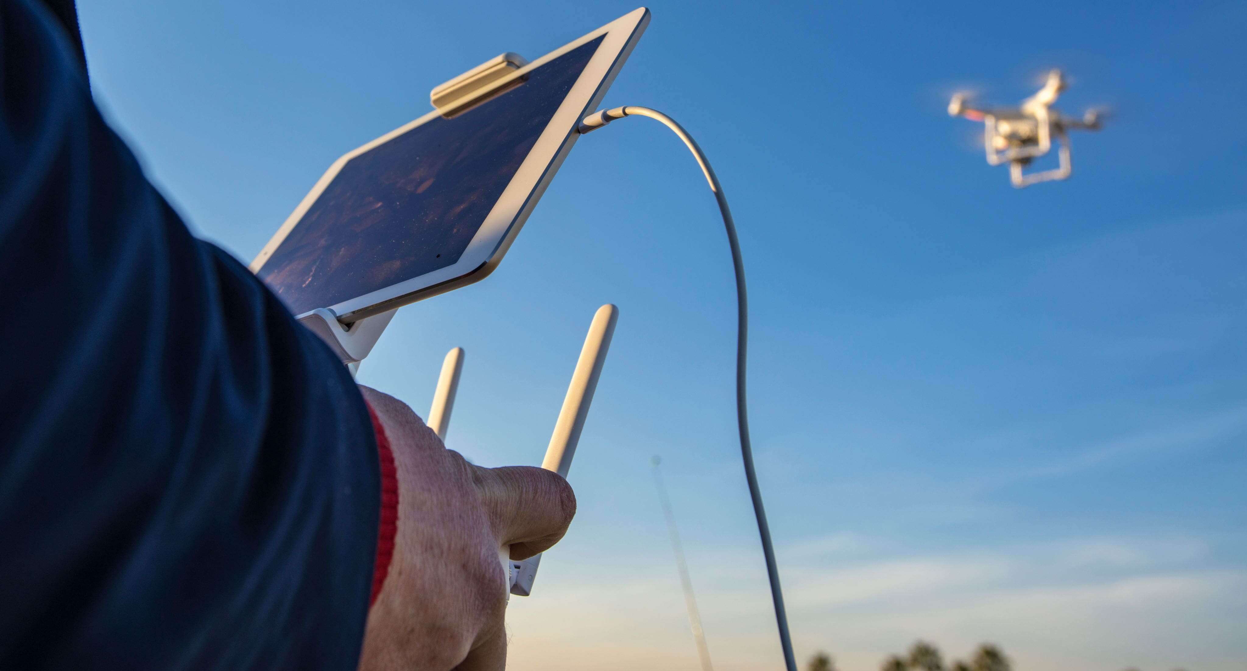
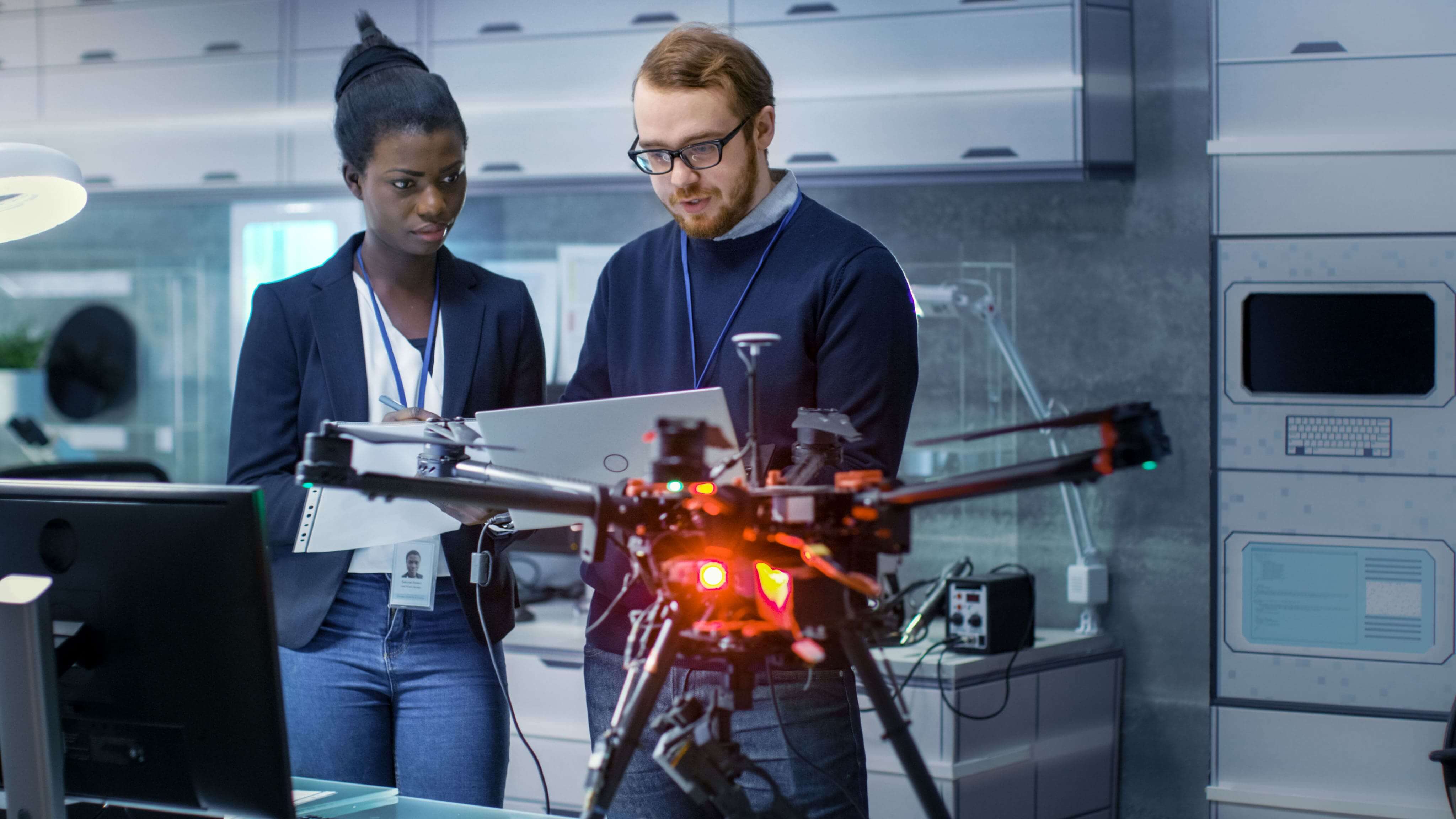
OPTIMAL HARDWARE There are countless options available for drone pilots concerning the type and model of drones for waste management applications. However, choosing the right drone can be tricky. A few crucial factors to keep in mind is the size of the survey area, budget, nature of camera required for surveying applications, is there a necessity for RTK-enabled equipment such as the DJI’s Phantom 4 RTK drone, etc.
- Drone type

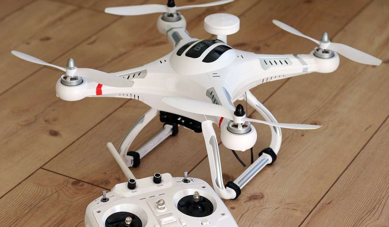
DRONE TYPE Drone pilots are presented with two drone types; fixed-wing or multicopter Drones. Multicopters are usually mass-produced due to which they are a more accessible and economical option. If the survey area for your waste management practices is less than 500 acres, multicopter UAVs should be your #1 choice. On the other hand, Fixed-wing UAVs may be significantly more expensive; they are excellent for larger surveying areas. However, do note that if you fly in ‘No Fly Zones’ or a bustling location, fixed-wing quadcopters may be challenging to employ because of their weight and requirement for a runway strip for a safe landing.
- Budget – A leading element to influence your drone choice, a budget should be determined for effortless selection. Multicopters, especially the DJI models in the market, are generally mass-produced. This characteristic makes them readily available and comparatively inexpensive to other models. However, fixed-wing UAVs are produced in restrained quantities, making them a much higher investment. Though the budget narrows down various alternatives available to the drone pilot, the quadcopter fancied should not compromise the quality and output of data to a large extent.
- Availability and ease of maintenance

AVAILABILITY AND EASE OF MAINTENANCE Apart from the price of the drone obtained, their cost of maintaining and availability of components and replacements are essential factors to be analyzed. It is recommended that drone operators select simple models readily available for immediate repairs and replacements if needed. Quick and easy maintenance saves added costs and time due to drone malfunctions. Let’s look at an example. If you are navigating a DJI drone at an event and unfortunately crash it due to a blend of high winds and mechanical failure, replacing damaged parts of the UAV would be effortless due to its availability in the market. The drone pilot would not need to postpone his surveying/inspection activities due to such circumstances.
- Camera

DRONE CAMERA Finding a budget drone and retaining the quality and resolution of the images and videos seized is not improbable! Numerous UAVs are available that are excellent for surveying and inspection applications in various industries, and are still affordable. A conventional drone camera for aerial surveying utilizations must be equipped with at least 20 MegaPixel sensors. Interchangeable lenses often confuse the surveying methods and diminish the essence of data obtained. The drone operator must ensure that the camera specs limit the Ground Sample Distance (GSD) so that the resolution of the data is sustained. High-resolution cameras equipped with influential sensors, along with the art of GIS and Photogrammetry, obtain greater detail to produce accurate 3D images and 3D point clouds for further analyses.
- Software – The precise and appropriate combination of hardware and software can yield the results you need. You must select software that satisfies your drone applications and the level of inspection and management required by the user. With photogrammetry, you can measure photographs and interpret them as 3D models of the original scene. The right software would answer everything you need to know and need to understand about your asset. For example, after processing your data through the correct visualization software, you can be presented with a Digital Terrain Model (DTM) that allows you to see the various elevations, contour lines, break lines, etc. One such cloud-based application and photogrammetry software is Pixa 4D. It is famously employed to create maps and 3D models. Thus, determine the software that would represent obtained data as the knowledge you require for in-depth analyses.

You may also like
9 WAYS WASTE MANAGEMENT ORGANIZATIONS ARE USING DRONES
One of the essential elements of any industry is waste management. It is crucial to maintain a clean environment, especially if indulge in activities that can generate any harm. Managing waste can be a challenging liability, but with the guidance of drone technology, waste management has become simpler and efficient.
Several governments and companies have explicitly discovered UAVs’ potential and have employed them for the following applications:
- Collecting Garbage – As a part of the drones’ waste management application, countries have now introduced a sustainable method of collecting garbage from locations via drones. For example, Spain employs drones to pick up litter from beaches to protect marine wildlife in a quick and cost-efficient manner. Traditional methods of managing garbage are labor-intensive, inefficient, and comparatively more expensive compared to Drone technology. Not just this, UAVs can also be employed to monitor and inspect locations for any illegal dumping on industrial wastes by factories. These unlawful practices can be captured and used as evidence against those committing them.
- Monitoring Waste Treatment – With the assistance of drone technology, waste management organizations can take one step further and control and track the water quality and waste through drones equipped with select cameras. Since water plays an integral role in various industrial practices due to which large amounts of wastewater is created, companies can improve and employ the most reliable wastewater treatment methods.
- Cleaning Power Lines – Another application for drone technology for waste management organizations is cleaning power lines. Chinese firms have employed drones furnished with flamethrowers that burn any garbage attached to the power lines. Using drones is a safer and more reliable technique opposed to the manual strategy of climbing towers to clean electric lines. Companies famously adopt drones equipped with high-quality sensors along with flamethrowers for waste management operations. Drone technology, coupled with the Internet of Things (IoT), has advanced applications in the industry like separating recyclable and non-recyclable garbage. Due to this very reason, authorities are increasingly using UAVs for automatic waste management activities.
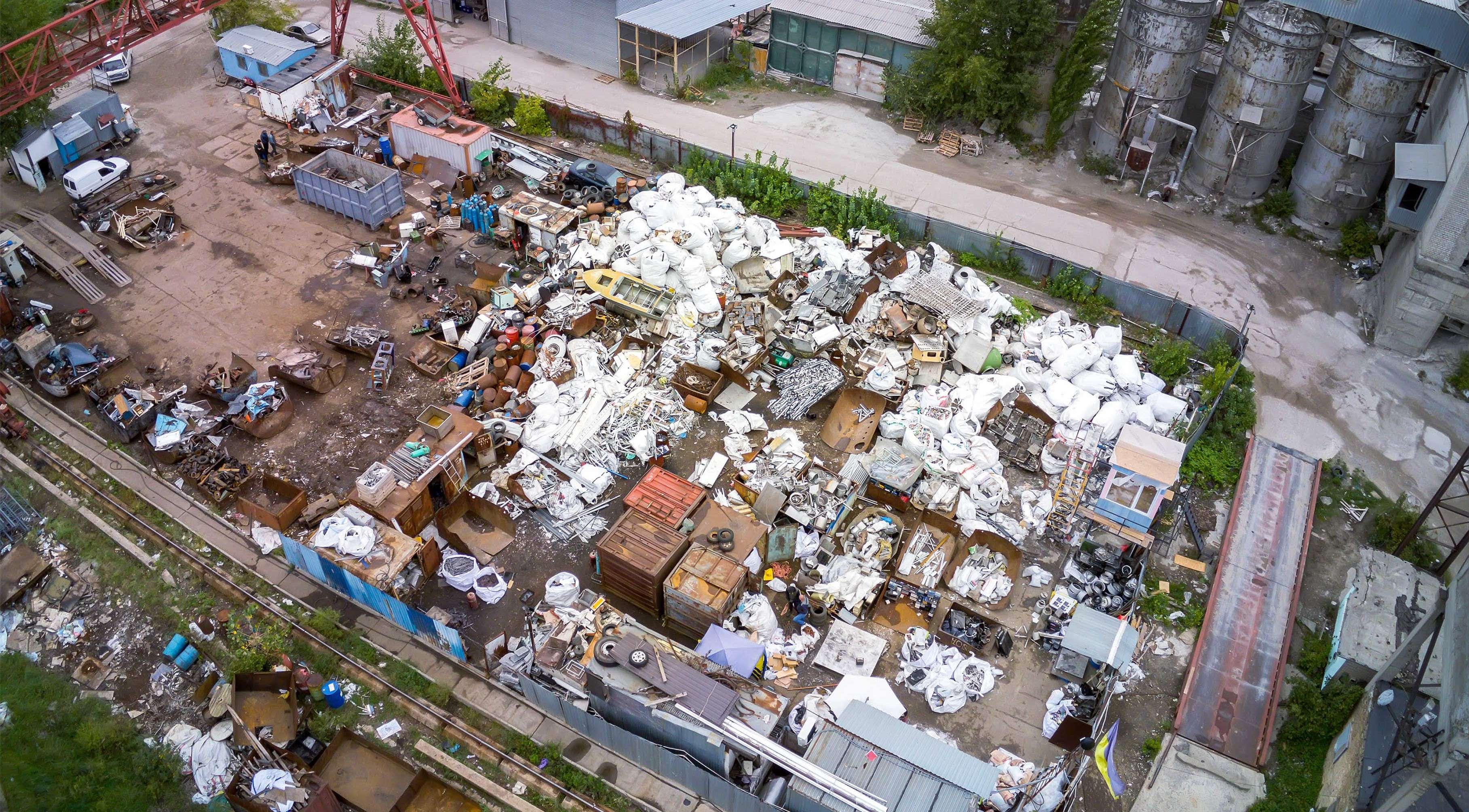
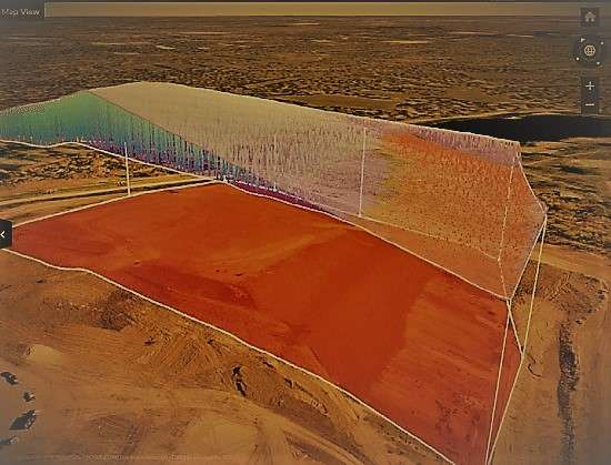
- Mapping Landfills

MAPPING LANDFILLS For constructing landfills with complete security, firms must ensure meticulous planning for an unharmed surrounding and environment. By gaining a different perspective of the area through drone mapping, the time invested in the plan, and the preparation of adequate waste management facilities is immensely decreased. Saving time would, in return, save added expenses for the firm too.=
- Managing Cells – A landfill’s primary aim is to saturate as much scrap as possible in a single cell and to utilize the space effectively. This is accomplished by calculating the most suitable compaction rate for every individual cell. By employing drones, organizations can determine the compaction rate while inspecting a landfill more accurately. Drone data combined with weighbridge data (used to calculate waste cell density) results in practical and cost-effective waste management practices as opposed to other techniques.
- Calculating Landfill Capacity – According to specific rules and regulations regarding waste management techniques, landfills require to maintain waste below a particular elevation level, and so often need to overfill particular cells. With the help of Drone Technology, landfill owners can now conclude the cells to fill with waste without prompting any contamination to their surroundings. With comprehensive UAV surveying and inspection, real-time data from landfills are obtained to create accurate 3D models for more realistic visualization. Drone-powered solutions are cheaper and much safer than other methods to gather landfill information.
- Monitoring Methane Emissions – The third-largest cause of heightened methane production in the United States is solid waste landfills. Drones furnished with thermal cameras are employed at landfills to monitor the colorless and odorless gas. Too much methane in the environment is harmful, and with the assistance of drone technology, companies can monitor and keep methane emissions under control from a protected distance.
- Observing Protected Areas – A significant role in waste management systems is to guarantee the sanctuary of environmental locations surrounding the landfill areas. With the application of UAVs, companies can ensure that landfills and recycling hubs don’t pollute their neighboring regions. Drones empower companies to ensure the safekeeping of nearby surroundings efficiently and conveniently.
- Airspace Calculation

AIRSPACE CALCULATION It is well-known that landfills are expected to retain most waste below the Top-of-Waste (TOW) level. According to the TOW level, waste management firms can pick definite cells to overfill if deemed necessary. However, if this method has any error, catastrophic circumstances for the regions around the landfill can arise. Due to this very fact, waste management companies need to warrant an exact arrangement for airspace calculation. Utilization of drones can help measure a cell’s overfill potential and available airspace. The airspace in the landfill cells is monitored using 3D models for waste overfill volume visualization and the cross-section of cells or the complete landfill.

CONCLUSION
Drone Technology has proffered a new status to the multifaceted industry of Waste Management. Drones have redefined traditional surveying and inspection methods to introduce a more efficient and on-budget plan to manage day-to-day activities. Waste management organizations no longer require someone with far-fetched knowledge and drone training. A simple drone operating course with thorough practice can aid you in obtaining a certificate too! Seize real-time and accurate information to make this practice more efficient and environmentally friendly. It’s never too late!